
Walk a Shelbyville Street
A Shelbyville street directory search should separate ownership from occupancy. The Shelby County XSoft assessment search gives a current owner, situs address, mailing address, parcel number, and property card. Situs means the physical location used by the assessor. It is not always the same as the address where the owner receives mail. WTH GIS then shows the parcel in relation to the road, nearby lots, district lines, and map layers. Deeds establish recorded transfers, while directory, census, obituary, and voter evidence can add resident context.
Use the same spelling and number in each system, but keep the parcel number and legal description as stronger identifiers. A road may appear under an old rural route, a changed number, or a post-office name that does not match the legal city limit. Shelbyville research found no complete public renumbering log, so an address mismatch calls for more comparison, not a quick conclusion.
- Enter at least three characters from the address in XSoft, then select the matching suggestion. Save the owner, parcel, situs address, mailing address, and legal description.
- Open Shelby County WTH GIS. Search the address or parcel, turn on useful parcel, aerial, zoning, flood, or district layers, and inspect nearby parcels.
- Read the property-card transfer rows. Treat each name, date, Doc ID, and book/page reference as a lead to a recorded instrument.
- Search deed parties through Doxpop Recorded Documents. Use the Recorder's books, terminal, or microfilm when the web coverage stops.
- For older occupants, compare a directory year with census, newspaper, obituary, cemetery, and map evidence. Do not treat one record as a full household.
That sequence turns a street address into a record trail. It also keeps a Shelbyville street directory from overstating what one database can prove.
Shelbyville Street Search Fields
XSoft is the most direct current-address entry point. Its home search accepts owner, address, or property number, and suggestions appear after at least three characters. Select a suggestion instead of relying on an incomplete free-text guess. The result may show assessed value and a property card, but the county warns that the data is not a legal ownership certificate.
| Field or control | Type | Required | Use |
|---|---|---|---|
| Owner, Address or Property Number | Autocomplete text | Nonblank for search | Enter at least three characters; suggestions match owner, address, or parcel |
| SearchString | Hidden system value | System | The chosen suggestion routes to the property result |
| Property type | System default | No | Real Property was the default on the inspected page |
| Advanced Search | Link | No | Additional fields are dynamic and were not exposed in the static capture |
| Show results on maps | Link | No | Moves from the result set toward a map view |
The card can include construction traits, sales disclosures, transfer rows, and value details. Homestead status can be an owner-occupancy clue, but it does not name every person at an address. Current ownership is confirmed through the Auditor and Recorder.
The official Shelby County assessment portal is shown below. Its selected suggestion is the key step between a typed address and the full parcel result.
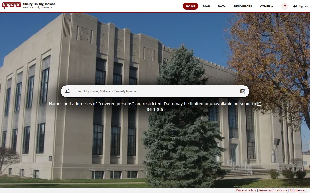
The captured search supports the street-by-street workflow, while the property card supplies the address fields that should be carried into later searches.
Map Shelbyville Streets by Parcel
WTH GIS adds geographic context that a list cannot show. Its search accepts any text, an address, an intersection, a parcel number, or an owner. After locating one parcel, click nearby lots rather than assuming consecutive street numbers share the same block or district. Identify Areas can list boundaries containing a point, and the available layers include parcel, road, aerial, zoning, flood, and district context.
Visible tools include Identify & Pan, Draw box to zoom, Browse Map Content, Parcel Tools, Print, Email a Link, and Export List to Excel. Export is useful for the results panel, but it is not a streetwide list of residents. Each parcel still needs its own ownership and occupancy checks.
See the Shelby County GIS parcel viewer before moving from one Shelbyville parcel to the next.
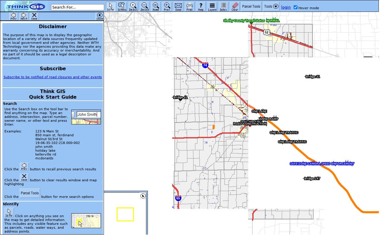
The parcel map makes adjoining lots clear and links back to the property card, which keeps map position and county record data tied together.
Note: A visible parcel does not mean every owner name or home address can be searched, because covered-person restrictions may hide those fields.
Shelbyville Address Terms
A Shelbyville street directory becomes more accurate when each address term is kept in its proper role. The sample county card, for example, separates the physical location from the owner's mailing address and also supplies a parcel and land description.
- Parcel
- A county land unit with its own identifying number. It can survive a change in street wording, though splits and combinations may create new numbers.
- Situs address
- The assessor's physical location for the property. It may differ from the tax mailing address.
- Plat
- A recorded drawing that defines lots, boundaries, easements, and subdivisions.
- Criss-cross directory
- A directory arranged by address or phone rather than only by surname. Shelbyville's complete local year run was not confirmed.
The sample card for 1821 N Knightstown Road lists a different owner mailing address, a parcel number, Addison Township, a school district, a neighborhood code, and the legal description “PT NW NE 28 13 7 1.15A.” That is why a mailing address alone cannot establish who occupies the parcel.
Shelbyville Records Found by Address
No single Shelbyville record is a complete street directory. The useful sets overlap: assessment identifies the tax parcel, GIS places it on the map, deeds establish recorded parties, and older sources provide snapshots of occupants. Permit and court access can add events without proving residence.
| Record Set | Keeper | What It Shows | Access |
|---|---|---|---|
| XSoft assessment | Shelby County Assessor | Owner, situs, mailing address, parcel, values, traits | Free web search |
| WTH GIS parcel | Shelby County GIS | Map, nearby parcels, boundaries, layers, property-card link | Free viewer |
| Deed, mortgage, lien | Shelby County Recorder | Recorded parties, date, instrument, book/page, legal description | Current web index; older office books and microfilm |
| Tax roll | Shelby County Treasurer | Name, parcel, district, tax year, property address | Free web search |
| Permit and code | City Planning / Citizenserve | Project, address, permit, code, or inspection event when public | Portal or office; historical coverage not confirmed |
| Voter material | Shelby County Election Officer | Lawfully released voter data subject to state limits | Exact personal lookup or written VRG-24 request |
Indiana Voters requires an exact first name, last name, birth date, and Shelby County selection. It offers no public browse-by-street function. A computerized voter-file request uses State Form VRG-24 and remains subject to confidentiality, county policy, and statutory use limits. The county Election Officer can explain the local request route.
Deeds Along Shelbyville Streets
The Shelby County Recorder connects an address to its legal transfer chain. Doxpop's recorded-document search can use party names, dates, document types, and legal descriptions. The county describes deed index books from 1822 through June 1998 and online recorded documents from May 1998 forward. A separate county copy sheet says January 1998 forward is on computer, so keep that conflict visible and verify the exact cutoff at the counter.
For the web period, search the current owner as grantee or party. Record the grantor, instrument number, book/page, date, and legal description. Then search the grantor as a grantee in an older purchase. A parcel split or combined tract may require a plat, survey, easement, or section-township-range description before the chain continues.
Review the Shelby County grantor-grantee index interface for the modern segment.
The index is a finding aid, not the official record. Certified proof comes from the Recorder, and pre-1998 copies require a manual in-office search.
The separate Shelby County recorded-document landing page is another view of the deed-search route.
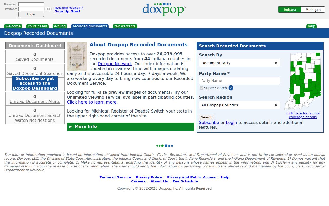
This screen confirms the third-party access point. Record the search terms and result identifiers before requesting an official copy from the county.
Bridge Old Shelbyville Addresses
Old street forms can break an otherwise sound search. Shelbyville Sanborn fire-insurance sheets exist for 1887, 1893, 1898, 1905, 1910, 1916, 1926, and later runs. They show house and block numbers, footprints, building use, street width, and adjoining property boundaries. Pair a map sheet with a directory or census year to test whether an old number refers to today's parcel.
The State Library also lists a 1909 rural delivery map, a 1932 ward and precinct map, and 1959 road-numbering maps. The county 9-1-1 addressing office maintains emergency-address and MSAG records. When the public record does not explain a number change, an Indiana Access to Public Records Act request can ask for an existing address assignment or change record by address and date.
Historical directories are best treated as evidence about a particular year. The full Shelbyville collection belongs on the Shelbyville city directory page; here, the address entry is used only to bridge a modern parcel to an earlier street form.
Note: No official citywide Shelbyville renumbering chronology was found, so do not assign a change year without a map, plat, ordinance, or office record.
Shelbyville's Three-Office Deed Route
The county's own Recorder FAQ gives a local order that saves guesswork: start with the Assessor, continue with the Auditor, and finish at the Recorder. The Assessor identifies the parcel. The Auditor can help with current ownership and the exact transfer date. The Recorder supplies the instrument and official copy.
Most property counters are in the Shelby County Annex at 25 W Polk Street. The Recorder is in Room 101 and the Assessor in Room 205, both open Monday through Thursday, 7 a.m. to 5 p.m. Older Recorder material is available through office books, terminal access, and microfilm. The courthouse at 407 S Harrison Street holds the Clerk and court route instead, Monday through Friday, 8 a.m. to 4 p.m.
That two-building geography matters when a street search reaches a deed, lien, judgment, or estate record. Call the responsible office before a visit and bring the parcel, legal description, names, and date range.
The Recorder's copy guidance adds another practical limit. Letter, legal, and ledger copies are $1 per page, larger plat copies are $5 per page, and certification is $5 per document. The office accepts cash or check. For an older street parcel, confirm the book and page before ordering so the request points to the correct recorded image or paper volume.
Shelbyville Street Directory Limits
A property owner is not necessarily an occupant. Mailing addresses can point elsewhere, and a deed names parties to a transfer rather than every household member. Indiana Voters is an exact personal lookup, not a street roll. Utility customer records and motor-vehicle address data are not public address-directory sources. Sealed, juvenile, expunged, protection-order, military-discharge, and other confidential material may also be withheld.
Indiana's Address Confidentiality Program gives eligible participants a substitute mailing address. Covered home-address rules under IC 36-1-8.5 and Shelby County Ordinance O-2016-14 can restrict name and address searches in property systems. A missing search result does not prove an empty parcel or a record error.
Lawful use. Use Shelbyville address records for lawful personal research, property questions, and family history. Never use them to stalk, harass, intimidate, or harm anyone.
A careful Shelbyville street directory states what each source proves and leaves private facts private. Verify any important finding with the office that keeps the original record.